Google Maps Shows Users “Potentially Fatal” Route on Ben Nevis

A few years ago, instead of leading my best friend and I through a lovely and picturesque Spanish mountain trail, Google Maps took us to an isolated field with some cows. While I learned then not trust the internet when it comes to nature, it appears that an increasing number of visitors to the Scottish mountain Ben Nevis continue to do so, which could endanger their lives.
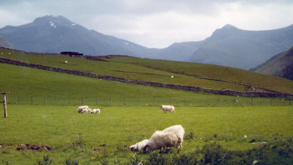
In recent days, the United Kingdom conservation charity John Muir Trust and Mountaineering Scotland, the national representative body for mountaineering, hillwalking, climbing, and snow sports touring, have warned that hiking routes to Ben Nevis, Scotland’s highest mountain at 4,412 feet (1,345 meters), provided by mapping apps could put people at risk. The organizations specifically cited a route being provided on Google Maps, which directs users to a car park at the head of Glen Nevis.
The app proceeds to display a dotted line that appears to show the path to the top of the mountain, according to the John Muir Trust and Mountaineering Scotland. They stated that this path appears depending on how someone searches for the route, noting that it pops up when users click on the car option in Google Maps.
“Even the most experienced mountaineer would have difficulty following this route,” Heather Morning, Mountaineering Scotland’s mountain safety adviser, said in a news statement. “The line goes through very steep, rocky, and pathless terrain where even in good visibility it would be challenging to find a safe line. Add in low cloud and rain and the suggested Google line is potentially fatal.”
Gizmodo reached out to Google for comment on the route being shown to the top of Ben Nevis but did not receive a response by the time of publication. We also reached out to Apple to ask if Apple Maps was showing the same or similar dangerous routes. Gizmodo will update this blog if we hear back from either Google or Apple.
G/O Media may get a commission
In a statement to CNN on Friday, a Google spokesperson said the company was examining the routing issue on Ben Nevis and surrounding areas. On Saturday, the company told Yahoo News UK that it was updating its driving routes to take people directly to the mountain’s visitor center, which is where the official route begins.
“Our driving directions currently route people to the Nevis Gorge trailhead parking lot—the lot closest to the summit—which has prominent signs indicating that the trail is highly dangerous and for advanced hikers only,” a Google spokeswoman said. “To help both novice and experienced hikers more easily find trails that suit their level of expertise, we’re now updating our driving routes to take people directly to the visitor centre, where they’ll be able to speak with staff about the best trail to take.”
The company added that it welcomed feedback from mountaineering groups.
Apparently, Ben Nevis isn’t the only mountain where Google Maps shows perilous routes. Mountaineering Scotland claims that a route offered by Google to the mountain An Teallach in the country “would take people over a cliff.”
Morning said that many people who visit Ben Nevis don’t know where to get reliable information and believe that Google Maps, which got them from their home to the foot of the mountain, can also take them to the top. This isn’t the case, though.
“It’s all too easy these days to assume that information on the internet is all good stuff, correct, up to date and safe,” she said. “Sadly, experience shows this is not the case and there have been a number of incidents recently where following routes downloaded off the internet have resulted in injury or worse.”
The John Muir Trust and Mountaineering Scotland recommended that people thinking of hiking up Ben Nevis or any other mountain or hill cross check the information on a map (one not named Google). In addition, the organizations pointed out that individuals can consult a local guide.
Considering that Google Maps would have sent my best friend and I further up, instead of down, our mountain after the cow incident had it not been for a helpful stranger, I second that advice.
Source link


